Category Archives: NDVI Mapping with Drones
Producing Healthier Crops for Better Results It’s no secret that higher yields come by producing healthier crops and give better returns. In modern day farming, every operation has to be built on efficiencies to reduce costs and increase output. Finely tuned systems to make the most of every opportunity with precision. Modern day farming operations […]
Drones Increase yields by Collecting Valuable Data Toys or tools? Drones Increase yields by collecting valuable data – how is this possible? Read on and let me explain from the point of view of my previous role as a farmer and current role as a drone supplier. While harvesting wheat, I noticed something interesting with […]
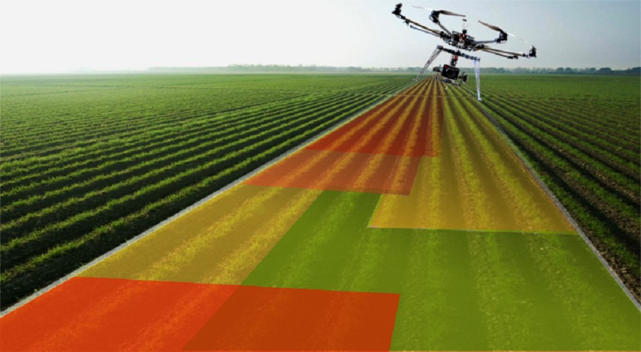
Plant health with Dronedeploy. Crop scouting with drone imagery makes it possible to measure plant health, identify crop stress, and rapidly eliminate threats to your field. But where do you start? The latest drone technology enables you to assess plant health and spot crop variability in minutes. Using plant health algorithms like NDVI with drone […]
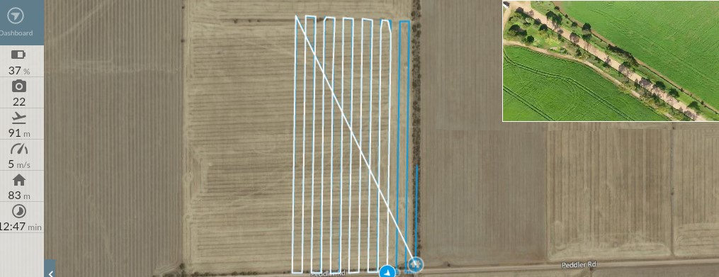
Dronedeploy The Software Platform for Drone Mapping Capture imagery, process maps & 3D models, and interpret your data with DroneDeploy
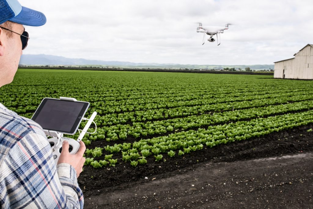
Agricultural Drones, what next? It wasn’t long ago that drones were known as a type of military plane for special operations, little did we know then that there would soon be agricultural drones let alone be as accessible to the public as they are today. Flying cameras to capture extraordinary still or video imaging are now available to the every day person. Today’s agriculture […]


