NDVI Mapping with Drones
Drones Increase yields by Collecting Valuable Data
Drones Increase yields by Collecting Valuable Data
Toys or tools? Drones Increase yields by collecting valuable data – how is this possible? Read on and let me explain from the point of view of my previous role as a farmer and current role as a drone supplier.
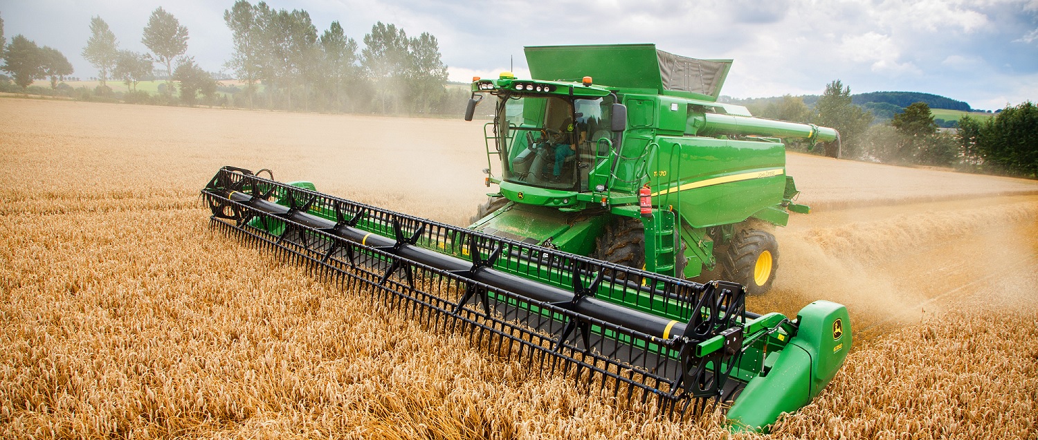
While harvesting wheat, I noticed something interesting with the average yield and the yield range within a particular paddock. The average yield being the standard tonnes produced divided by the area harvested. The yield range being the lowest and the highest readings on the yield monitor while harvesting the crop.
The Science
What I noticed was this – the lower yield had a larger effect on the yield average than the high yield. For example:
Low yield – 1t/ha
High yield – 4t/ha
Average – 2t/ha
This shows that the lower yield range weighs heavier on the average than the higher even though the higher range plays a part.

If we can identify, assess and treat those lower yielding areas then we can lift the yield average exponentially.
Drones increase yields by collecting valuable data but can’t improve factors like tree lines, shallow rock and salt. What we’re really interested in are those areas within a paddock that yield less and we haven’t addressed why.
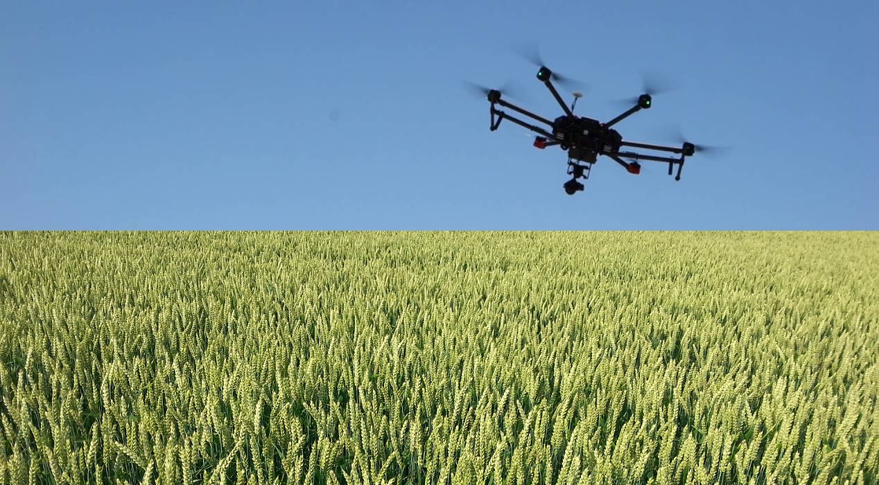
This is where the crop monitoring aspect that drones offer will have an effect on Agriculture and improved returns. With drones we have the ability to fly over a crop and identify areas of stress. The drone sensor captures data similar to a camera taking photos and produces an NDVI (Normalised Difference Vegetative Index) map. This NDVI map is based on the reflectance of light, healthy plants reflect light differently than stressed plants. Once we have this map we can send samples off for tissue testing to determine the lacking nutrients by comparing the areas that are healthy verses stressed. We then apply nutrients required to the stressed areas either by following the NDVI map manually or uploading shapefiles to your GPS system in your tractor.
Generally, nitrogen is applied in crop as a “fix it all” yield improver but what if we can improve yields even further by applying the right nutrients like zinc, copper and foliar potash etc in the right areas. Consequently, without the right balance of other nutrients, excess nitrogen can cause other problems. Read about nutrient balance here.
Automated flights with Drones

The drone flies autonomously once you initiate the launch via a program similar to the GPS autosteer system in your tractor. The sensor captures the data also automatically during flight. Simply put, the data is processed and an NDVI map is produced by using complex algorithms built into the software. Some sensors produce this data within minutes of landing, while others take several hours. Some of these sensors can also produce plant counts early in the season and yield potential maps later in the season.
There are basic drone packages that fly and collect data with a standard camera. This data is uploaded to programs like Dronedeploy and takes several hours and uses quite a bit of data. This system is only suitable if you have NBN or similar internet connections. These produce good maps based on algorithms called VARI (Visible Atmospherically Resistant Index).
More sophisticated drone packages collect the data with a multi-spectral camera that have different colour bands including Near Infrared and Rededge. These capture images/data that aren’t visible to the human eye and can detect crop variation weeks before we can normally. This allows early action to minimise yield loss. Infield processing of NDVI maps without the need for internet is also possible. These type of sensors allow same day leaf collection for plant tissue testing.
Drone mapping in Agriculture is fast becoming an important tool in the Precision Agriculture arena to take your yields to a new level and thereby increasing the profit of your enterprise.
Click here to see our range of Drone Packages for Agriculture

