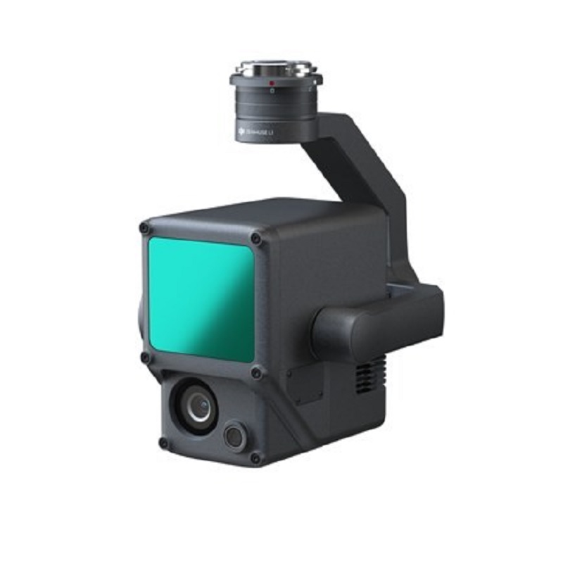
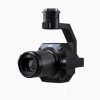
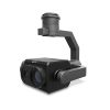
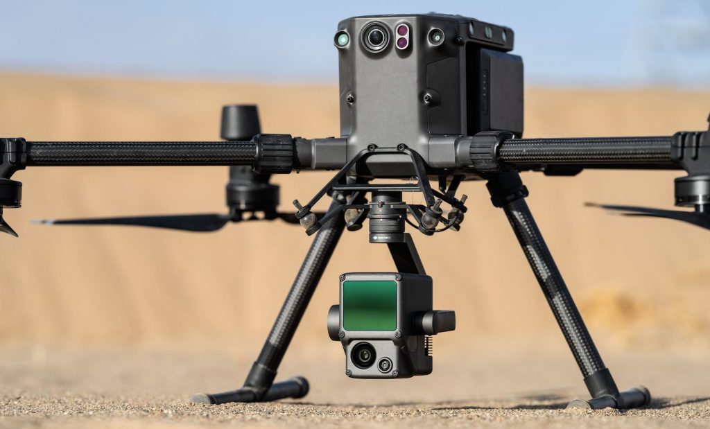
DJI Zenmuse L1 Lidar
The DJI Zenmuse L1 Lidar integrates a Livox Lidar module, a high-accuracy IMU, and an RGB camera. The camera also features a 1-inch CMOS sensor on a 3-axis stabilized gimbal. When used with Matrice 300 RTK and DJI Terra, the L1 forms a complete solution that gives you real-time 3D data throughout the day. This system efficiently captures the details of complex structures and delivers highly accurate reconstructed models.
Check out this video on he Zenmus L1 click here.
Visualize Data as You Fly
Livox Lidar Module
- Frame Lidar with up to 100% effective point cloud results
- Detection Range: 450m (80% reflectivity, 0 klx) / 190 m (10% reflectivity, 100 klx)
- Effective Point Rate: 240,000 pts/s
- Supports 3 Returns [3]
- Line Scan Mode and Non-repetitive Scan Mode
RGB Camera
- 20MP
- 1-inch CMOS
- Mechanical Shutter
High-accuracy IMU
- Accuracy: 0.025° (roll/pitch) / 0.08° (yaw)
- Vision Sensor for Positioning Accuracy
- GNSS, IMU, RGB Data Fusion
Point Cloud LiveView for L1
Real-time point clouds provide immediate insights onsite, so operators are informed to make critical decisions quickly.
You can also verify fieldwork quality by checking point cloud data immediately after each flight.
Measurement and Annotation
Acquire and communicate critical dimensions on the point cloud model using measurements and annotations.
One-stop Post-processing
DJI Terra fuses the IMU and GNSS data for point cloud and visible light calculations, in addition to conducting POS data calculations so you can effortlessly generate reconstructed models and accuracy reports.
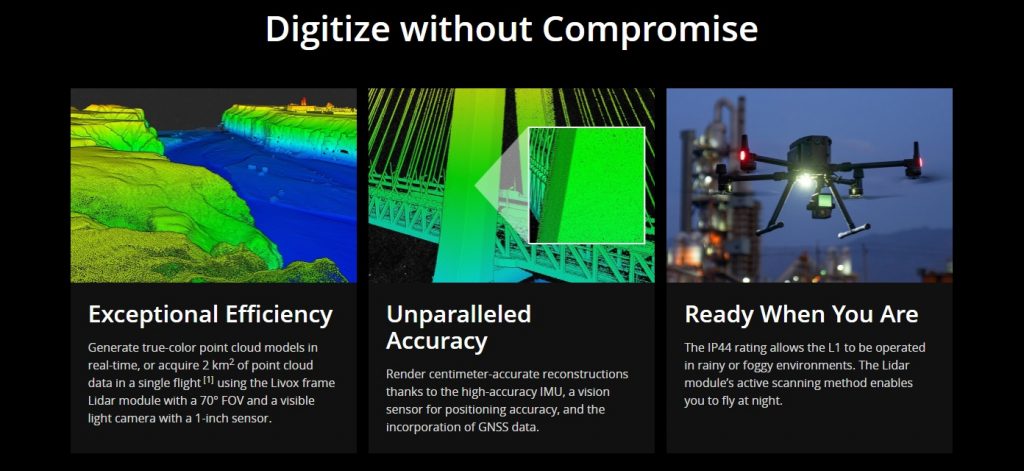
The L1 can cover 2 km in a single flight with a vertical accuracy of 5 cm and horizontal accuracy of 10 cm when flying at an altitude of 50 m. The lidar portion can capture 240,000 points per second with support for up to three returns. While flying, the pilot also gets a live preview of the point cloud generated to ensure all the data required is being collected. The IMU allows for all the data collected to be fused to an accurate location that also uses a vision sensor to improve the accuracy.
The DJI Zenmuse L1 Lidar sensor is recommended for topographical mapping, AEC and surveying, emergency response, law enforcement, energy and infrastructure, and agriculture and forestry management.
Learn more about the Matrice 300RTK here