DJI Zenmuse P1
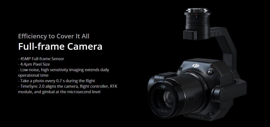
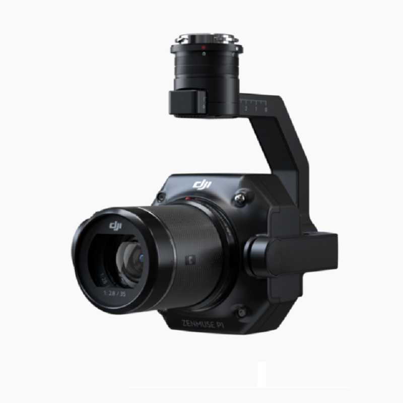
The DJI Zenmuse P1 camera integrates a full-frame sensor with interchangeable fixed-focus lenses on a 3-axis stabilized gimbal. Easily mounted on the Matrice 300, this camera is designed for photogrammetry and surveying flight missions. The P1 takes efficiency and accuracy to a whole new level and is capable of 45 MP still with 4.4-micrometer pixel size. This camera has the ability to take a photo every 0.7 seconds while in flight.
The DJI Zenmuse P1 features TimeSync 2.0, which aligns the camera, flight controller, RTK module and gimbal. This is to make sure they are all in sync with one another. The full-frame sensor supports three lenses, a 24 mm, 35 mm, and 50 mm. The DJI’s DL gimbal mounting system is used with this system.
The Zenmuse P1 has a vertical accuracy of 5 cm and 3 cm horizontally. This camera can cover an area of 3 km during a single flight. Furthermore capable of capturing 2D orthomosaic images, 3D oblique maps, real-world structure modeling, and real-time mapping missions. Coming soon – to ensure the data you have captured is accurate, DJI is soon to introduce a Fieldwork Report that gives you an overview of the data that you just captured.
The P1 is recommended for topographical mapping, cadastral surveying, AEC and surveying. Also natural resource management, geological investigation and disaster site modeling.
See a video of the P1 Camera here

Remarkable Accuracy
Equipped with a global mechanical shutter and the all-new TimeSync 2.0 system, which synchronizes time across modules at the microsecond level, the Zenmuse P1 lets users capture centimeter-accurate data combined with the real-time position and orientation compensation technology.
Extraordinary Efficiency
The P1 includes a full-frame, low-noise high-sensitivity sensor that can take a photo every 0.7 s during the flight, and covering 3 km2 [2] in a single flight.
Learn more about the Matrice 300RTK here


