Sony MSZ-2100G Multispectral
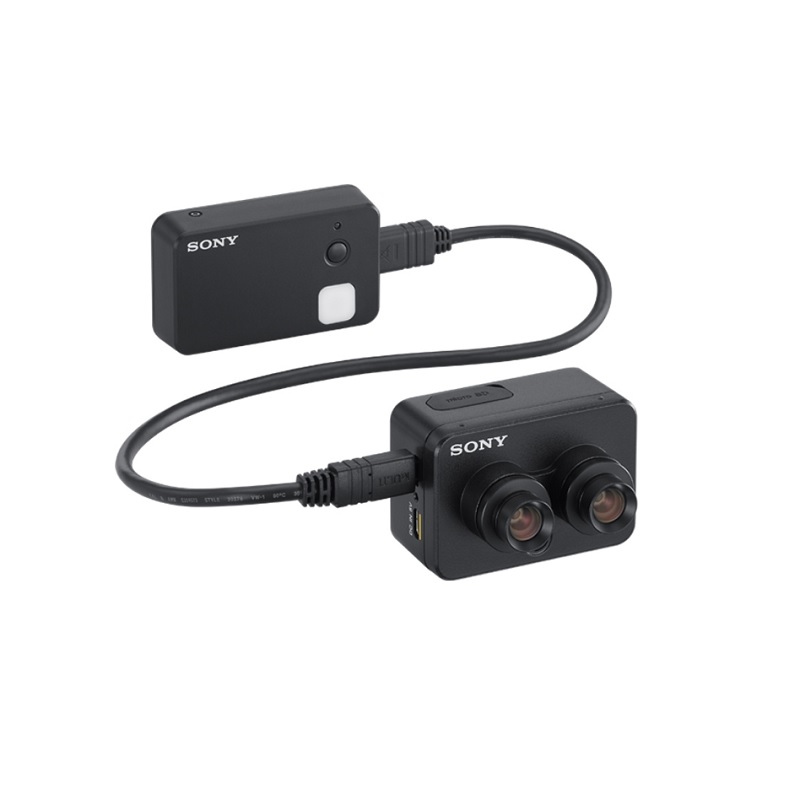
The new Sony MSZ-2100G Multispectral camera is a newly developed dual sensor solution captures essential data in the field, working in conjunction with the Fast Field Analyzer software to enable speedy diagnosis and effective in-field decision making.
The innovative multispectral sensing unit carries a dual sensor, capturing NDVI and RGB images in a single flight. Installed in this unit is our unique low-power smart sensing processor, which acquires latitude, longitude, altitude and attitude information (orientation and heading). This fusion technology records highly accurate geolocation information in perfect synchronization with the camera shutter, and stores it in the metadata of each image.
Detailed imagery gives growers and agronomists everything they need to assess critical factors like crop health, density and growth rate, and identify the presence of pests and weeds. Accurate geolocation data from the GNSS Sensor can be used to direct action with precision.
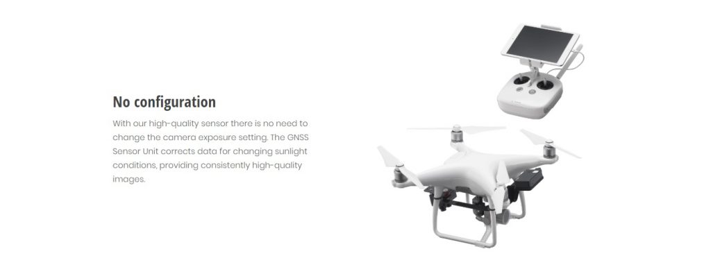
The Sony MSZ-2100G Multispectral Camera and GNSS Sensor Unit makes scouting simple. There’s no need to configure or calibrate the unit before flying, ensuring you’re ready for a variety of weather conditions. Operation couldn’t be simpler—just press the recording button before and after flight.
It’s easy to integrate the Multispectral Camera and GNSS Sensor Unit with your drones, so you’re always ready to fly. And after landing, the Micro SD Card is ready for rapid data transfer using the Fast Field Analyzer, with no internet connection required.
Precise geolocation and NDVI data capture
The dual sensor Multispectral Camera captures a range of valuable imagery with precise geolocation, altitude and attitude information thanks to the integrated GNSS Sensor Unit. The recording of geolocation as image metadata enhances the fast stitching processing after the flight.
NDVI and RGB in a single flight
Capturing NDVI and RBG data at the same time, while simultaneously recording accurate geolocation information, saves battery power and dramatically extends your coverage. With intelligent image capture, you can cover up to 160 acres/65 hectares per flight.
High-resolution image capture
Our drone-mounted Multispectral Camera captures quality 12MP RGB and 2MP NDVI imagery, enabling growers and agronomists to effortlessly assess crop health and act accordingly.

Simple operation with no calibration panel
There’s no need for a calibration board. This allows non-imaging professionals to operate the system easily while keeping data quality consistent.
Advanced digital drone imaging technology
The high-performance lens and Exmor R CMOS sensor, together with our unique image processor, deliver superior image quality for meticulous analysis.
Need a drone to mount your Sony sensor on? Click here to see the Phantom 4


