Tag Archives: NDVI
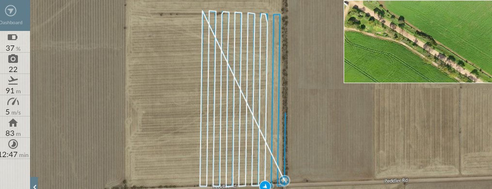
Dronedeploy The Software Platform for Drone Mapping Capture imagery, process maps & 3D models, and interpret your data with DroneDeploy
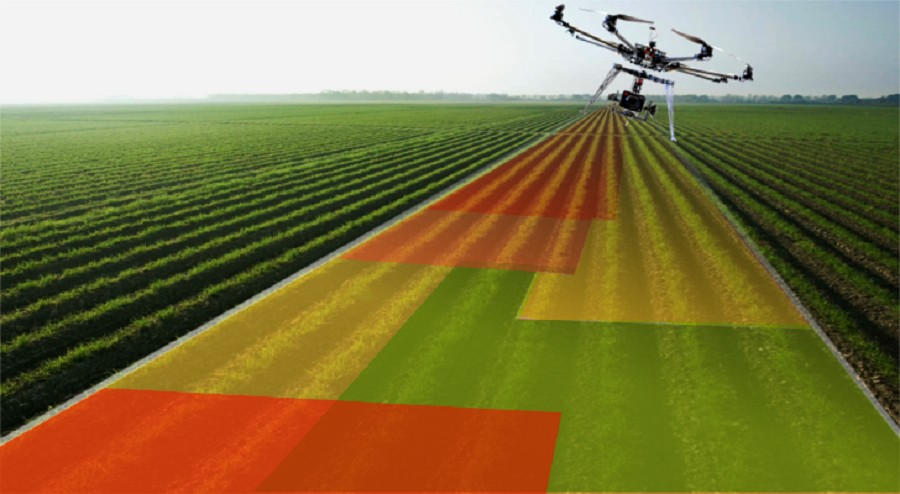
Agricultural Drones, what next? It wasn’t long ago that drones were known as a type of military plane for special operations, little did we know then that there would soon be agricultural drones let alone be as accessible to the public as they are today. Flying cameras to capture extraordinary still or video imaging are now available to the every day person. Today’s agriculture […]


